Land and first communities
Compare Texas regions and climates, then investigate Native nations, Gulf Coast communities, exploration, and missions through maps and evidence.
 Dynamic HistoryTimeline & Maps for Students
Dynamic History / Texas history / Grade 4
A year of Texas history, told through the places where choices were made.
Twenty-four mapped investigations help students connect geography, people, evidence, and civic life across Texas history.
24 lessons available · Guided map investigations
The story behind the map
The sequence begins with Texas regions, climate, and resources. Students compare the ways Native nations lived with the land, then examine Spanish missions, Mexican Texas, and the choices that led to revolution and statehood.
Later weeks move through the Republic, annexation, emancipation and Reconstruction, cattle and railroads, oil, industry, government, and civic action. Each week gives students a place to locate and evidence to weigh, so a long state history becomes a series of focused questions.
See the series in action
Watch a preview of the map based Texas history and social studies experience.
Series preview · Texas Grade 4 History & Social Studies
What students investigate
Compare Texas regions and climates, then investigate Native nations, Gulf Coast communities, exploration, and missions through maps and evidence.
Trace Mexican Texas, the Revolution, the Republic, annexation, war, emancipation, and Reconstruction through the places where they happened.
Follow cattle trails, railroads, oil fields, cities, public symbols, founding documents, and the ways Texans act in government today.
The series
Browse all 24 weekly investigations. The first week is free; each week has its own module and, where listed, its own product page.
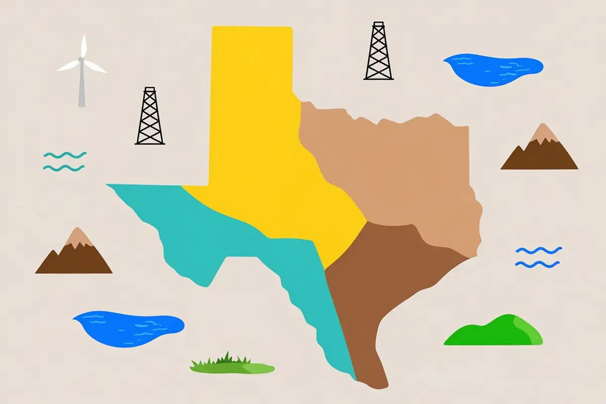
Move across Texas with synchronized reading, image evidence, and geographic reasoning.
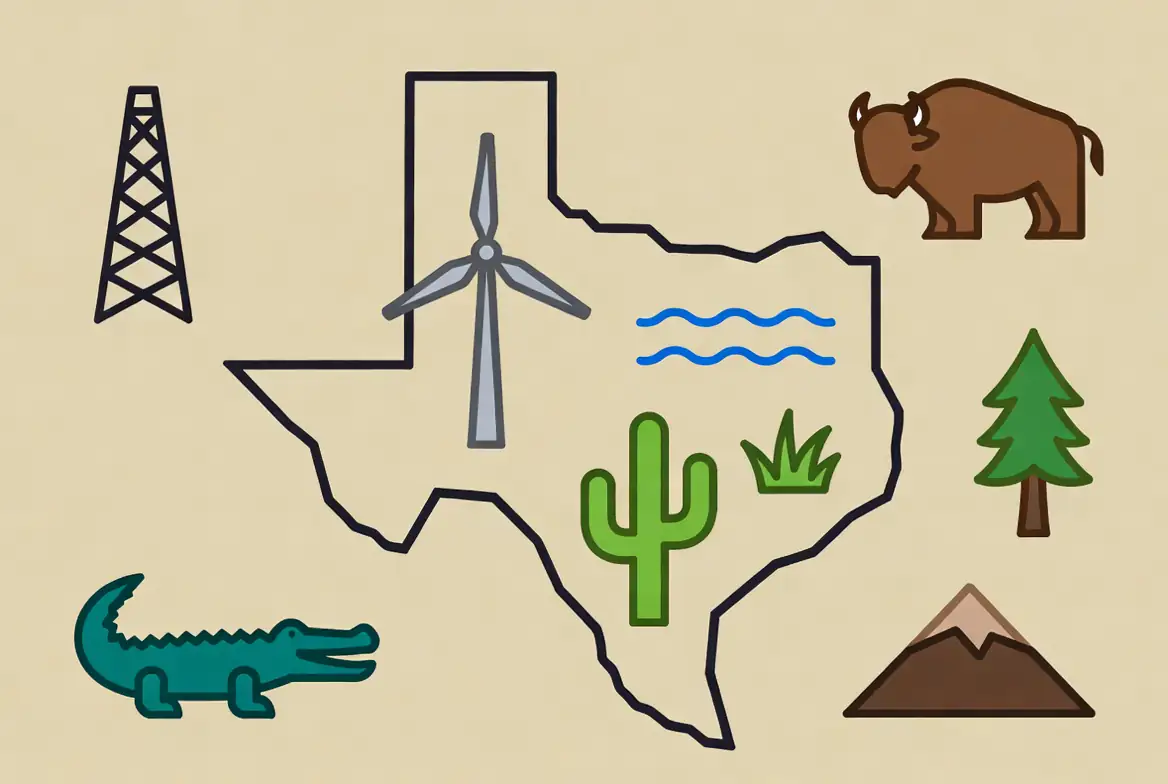
Track Texas climate clues, connect resources to work and towns, tell adaptation from modification, and weigh a High Plains water choice.
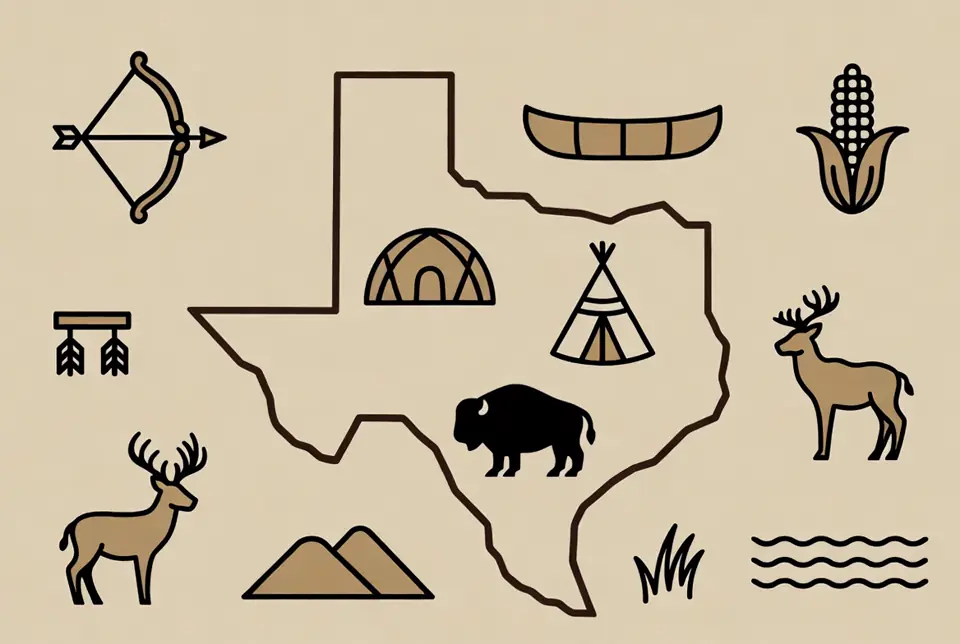
Investigate different lands, economies, governments, and living Native nations across six guided stops.
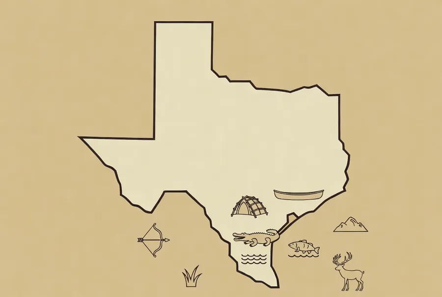
Explore Gulf Coast geography, seasonal movement, archaeology, technology, source limits, and living continuity across six clear learning stops.
Compare motives, reconstructed routes, primary sources, artifacts, and consequences across six guided stops.
Use maps, archaeology, real photographs, and living-community sources to explain why Spain built missions and how mission systems changed Texas.
Learn how Texas changed from Spanish to Mexican rule, why Mexico used empresarios, and how Austin and de León organized settlements.
Trace how Mexico governed, settled, and tried to control a growing Texas network from 1821 to 1833.
Six-stop historical-voices and map-evidence investigation of how disagreement became revolution
Investigate the Alamo through place, messages, sources, preservation, and public memory.
Trace movement from Goliad through the Runaway Scrape and Houston's campaign to San Jacinto.
Rules, money, land, leadership, and the choices that shaped a new republic
Annexation, statehood, a disputed border, and the war that redrew the map
Secession, a blockaded coast, the geography of slavery, emancipation, and the rebuilding that followed
Trail drives, rail junctions, frontier forts, the hide trade, and the Red River War
Barbed wire, a drought, water behind the wire, night riders, and the law of January 1884
A hill south of Beaumont, a well nobody could shut off, and the towns, ports, and bayous it changed
A bale of cotton, a rail crossing, and four people who turned a problem nobody had solved into something other people could use
Two towns in the dust, a family following the harvest, and three war jobs that each went exactly where the map said they had to
A broke old man finds the biggest oil field in the country, and within a year the state sends soldiers to shut it down
Follow four founding documents from the rooms where they were written to the courts, chambers, and classrooms they still govern.
The six flags, the state song, a holiday, three festivals and a corrected monument — every one of them chosen by somebody
Six governments reach your front door, three real Texas votes were counted and signed for, and three Texans used the same tools without waiting for permission.
A melon field, four hundred miles of road, and one question for the state government
For teachers and curious students
Start with the free regions lesson, then use the weekly investigations to connect the physical map to the decisions, communities, and institutions students study all year.
Begin with the free lesson