Interactive Social Studies Lessons Built Around Maps, Timelines, and Evidence
Dynamic History is a growing library of interactive social studies lessons that helps students investigate where history happened, when events unfolded, what evidence survives, and how geography shaped human choices. Instead of treating history as a list of disconnected names and dates, each module turns maps, timelines, places, images, sources, and questions into a guided learning experience.
The current collection begins with Texas state history and social studies for Grades 3–5. The platform is designed to grow into a broader library for state history, United States history, ancient civilizations, world history, European history, geography, civics, government, economics, and other social studies topics as new modules are developed.
Dynamic History is an interactive history and social studies learning platform for teachers and students. Modules combine digital maps, timelines, historical places, visual evidence, short readings, guided questions, and interactive tasks so students can build an understanding of history by investigating connections among place, time, evidence, people, and change.
Teachers can use a module as part of a complete curriculum, as a focused lesson inside an existing unit, for whole-class instruction, in small groups, at stations, or for independent student work. The goal is not to add technology for its own sake. Every map movement, image, source, question, and interaction should have an instructional purpose.
Why Dynamic History
Social Studies Should Feel Like an Investigation
Students understand history more deeply when they can ask meaningful questions about what they see and then use evidence to build an answer.
A map can show why a settlement grew near water. A route can reveal why distance changed a decision. A landscape can help explain how people adapted to their environment. A timeline can show that events happening in different places were connected. A photograph, artifact, building, document, or historical site can raise a question that a paragraph alone may never make visible.
Dynamic History brings those forms of evidence together inside one guided experience.
Students are encouraged to do more than recall information. Depending on the module, they may:
locate places and trace movement
compare regions, communities, or historical periods
observe details in maps and images
connect geography to settlement, work, conflict, trade, migration, or government
place events in sequence and explain cause and effect
distinguish a claim from the evidence that supports it
compare perspectives without reducing complex history to a single viewpoint
recognize uncertainty and the limits of historical sources
use evidence from several stops to build a final explanation
This inquiry-centered structure supports the habits that matter across social studies: chronological thinking, geographic reasoning, source analysis, comparison, cause and effect, perspective, claims, evidence, and clear communication.
How it works
How Dynamic History Modules Turn Content Into Active Learning
01
Interactive Maps Connect History to Place
History happened somewhere. Dynamic History uses interactive maps to help students see the relationship between events and the physical world around them. A module may ask students to examine regions, rivers, routes, battlefields, settlements, historic sites, landscapes, resources, or changing boundaries.
The map is not decoration. Every map interaction is meant to reveal information that helps answer a historical or geographic question.
02
Timelines Make Sequence and Change Visible
Timelines help students understand that history is a sequence of connected developments rather than a collection of isolated facts. In timeline-based modules, students can move through key moments and connect events, people, places, and consequences.
In location-based investigations, a stop sequence can serve the same purpose by guiding students through a carefully ordered chain of evidence.
03
Short Readings Provide Context Without Taking Over the Lesson
Focused readings establish context, define important vocabulary, and prepare students to notice meaningful evidence. Where a module includes different reading options, Standard and Accessible versions work toward the same core learning goals while offering different levels of reading support.
04
Visual and Historical Evidence Gives Students Something Real to Examine
Modules can incorporate photographs, artifacts, historic structures, maps, documents, public-domain media, museum resources, geographic features, and other evidence appropriate to the topic. Students use those materials to notice, compare, test an idea, or connect local evidence to a larger development.
05
Guided Tasks Turn Observation Into Reasoning
Interactive tasks may include evidence choices, ordering, matching, sorting, map-based questions, comparison, or short written reasoning.
Observe something→explain what it suggests→connect it to a historical mechanism→describe a consequence, choice, or tradeoff
06
Synthesis Helps Students Build the Bigger Story
A strong history lesson should end with more than one correct click. Students may defend a claim, compare regions, build a cause-and-effect chain, connect multiple places, weigh benefits and costs, or explain how several decisions shaped what happened next.
For teachers
Built for Real Classrooms
Dynamic History is designed around the practical ways teachers actually use digital social studies resources.
A teacher may project a module and guide the class through it together. Students may work in pairs and discuss evidence before answering. A class may rotate through a module as one station in a larger lesson. Older or more independent students may work through an investigation on their own. Homeschool families can use the same guided structure to explore a topic together.
Depending on the course or weekly unit, a module may be paired with teacher guides, classroom discussion, Readers Theater, video activities, source work, virtual field trips, projects, review, and assessment. The interactive module remains a complete learning experience, while surrounding materials can deepen the topic.
Whole-Class Teaching
Model how to read a map, notice evidence, compare clues, and explain reasoning aloud.
Small Groups and Partners
Students discuss observations and test ideas together before choosing or writing an answer.
Independent Investigation
A guided stop structure gives students a clear path instead of leaving them to wander through an open map.
Differentiation
Where provided, accessible reading and audio support help more students participate in the same core investigation.
Available now
Explore the Current Dynamic History Collection
Dynamic History is an expanding platform. The current library begins with Texas state history and social studies for Grades 3–5. These modules use Texas places, landscapes, historical evidence, and guided reasoning to help students understand how geography and history connect.
Current Interactive Modules
Grades 3–5 • Texas, United States
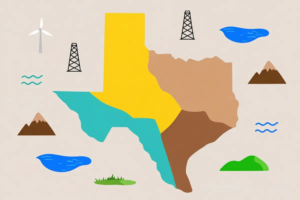
Texas State Week 1 - The Regions of Texas
Move across Texas with synchronized reading, image evidence, and geographic reasoning.
Six governments reach your front door, three real Texas votes were counted and signed for, and three Texans used the same tools without waiting for permission.
A Growing Library for History, Geography, Civics, and the Social Sciences
The same instructional model can support many kinds of social studies learning. As the Dynamic History library grows, new collections can connect content with the places, timelines, evidence, and questions that make each subject meaningful.
State History
State history becomes more useful when students connect local and regional geography to the people and events they study. Interactive lessons can explore Indigenous histories, migration, settlement, government, economics, culture, resources, transportation, conflict, civic life, and change over time.
The first collection is being built around Texas history, with modules on Texas regions and landforms, climate and resources, American Indian groups, Gulf Coast history, European exploration, and later eras as the course expands.
United States History
The platform can support investigations that connect national events with regional geography and local evidence, including migration routes, political change, conflict, industrial networks, primary sources, and the communities where national developments occurred.
Ancient Civilizations and World History
Rivers, trade routes, cities, empires, migration, belief systems, technological change, environmental pressures, and cultural exchange become easier to understand when students can see where developments occurred and how places connected.
Future collections can use this structure for Mesopotamia, ancient Egypt, Greece, Rome, civilizations in Asia, Africa, and the Americas, global exchange, and other world history units.
European History
European history modules can connect political change, culture, conflict, trade, migration, industrialization, borders, and international relationships to maps and chronological evidence.
Geography
Geography is not a background layer in Dynamic History. It is part of the explanation. Modules can investigate physical and human geography, regions, movement, environment, resources, settlement, transportation, land use, and relationships among people and places.
Civics, Government, and Economics
The platform can support lessons on government institutions, civic participation, founding documents, public decision-making, economic systems, trade, industry, supply and demand, innovation, resources, and consequences of collective choices.
Accessibility
Designed So More Students Can Participate in the Same Investigation
Accessibility is most useful when it is built into the learning experience rather than added as an afterthought.
Modules may include Standard and Accessible reading options that preserve the same central ideas while adjusting reading support. Where audio is available, students can listen to supported text while following the lesson. Visual evidence is paired with explanatory context and meaningful alternative text. Interactive tasks should provide keyboard or non-drag alternatives when an activity would otherwise depend on one input method.
The goal is not to create a separate, simplified history course for students who need support. The goal is to provide multiple ways for students to reach the same important historical and geographic thinking.
Standards and skills
Standards-Aligned Where Appropriate, but Built Around Transferable Social Studies Thinking
Individual collections may align to the standards that govern the course or region they were created to support. For example, the Texas State History curriculum is developed around the applicable Texas social studies standards for its intended grade level.
Standards alignment matters, but a strong lesson must also help students practice skills they can use in a new topic.
use maps and geographic information
understand chronology and sequence
explain cause and effect
compare people, places, systems, and time periods
interpret historical and visual evidence
distinguish observation from inference
consider more than one perspective
support claims with evidence
recognize uncertainty or limits in available sources
communicate historical reasoning clearly
Teachers should always consult the standards information attached to the specific module or curriculum product they are using rather than assuming that every Dynamic History module is aligned to the same framework.
Research and quality
How Dynamic History Content Is Researched and Reviewed
A useful digital history lesson depends on more than attractive graphics. The content, geography, sources, student directions, accessibility, and interactions all have to work together.
Modules are developed around defined learning goals and reviewed for the fit between historical content and the student experience. Depending on the module, the production process can include:
01
research using authoritative historical, government, museum, archival, educational, and geographic sources
02
verification of dates, places, terminology, and major factual claims
03
review of maps, routes, coordinates, and location labels
04
age-appropriate writing that preserves important historical meaning
05
attention to multiple perspectives and sensitive historical topics
06
source and media provenance checks
07
accessibility review for supported reading and interaction paths
08
testing that every student instruction can actually be completed in the interface
09
technical validation before a module is released or updated
Historical interpretation can change as new evidence and scholarship become available. Maps can also simplify complex boundaries, regions, or areas of influence. Dynamic History should make those limitations clear when they matter rather than presenting every map pin or shaded area as more exact than the evidence supports.
How to start
Start With the Module Library
Teachers can begin by choosing a topic that fits their classroom goals.
Some classroom modules use an unlock code supplied with the corresponding curriculum product or teacher materials.
FAQ
Frequently Asked Questions About Dynamic History
What is Dynamic History?
Dynamic History is a web-based interactive social studies learning platform. It combines maps, timelines, historical places, visual evidence, focused readings, guided questions, and interactive tasks to help students investigate how place, time, evidence, and human choices connect.
Who is Dynamic History designed for?
The platform is designed primarily for teachers and students. The current collection begins with Grades 3–5 Texas social studies, while the broader platform architecture can support additional grade levels and social studies subjects as new modules are developed. Homeschool families can also use the guided lessons.
Is Dynamic History a complete curriculum or a supplemental resource?
It can serve either role depending on the product. A Dynamic History module can be used as a focused standalone lesson or as one part of a larger curriculum sequence that includes teacher guidance, discussion, performance, source analysis, virtual field trips, projects, review, or assessment.
What subjects does Dynamic History cover?
The current catalog begins with Texas state history and social studies. The platform is designed to support a growing range of state history, U.S. history, ancient civilizations, world history, European history, geography, civics, government, economics, and related social studies topics as new collections are created.
What grade levels are available now?
Current availability is shown in the live module library and on each module card. The first collection is centered on Texas social studies for Grades 3–5. Future collections may serve other grade bands.
How are interactive maps used in the lessons?
Maps are used as evidence, not as decoration. Students may locate a place, compare regions, follow a route, examine a landscape, connect a resource to human activity, or use geographic information to explain why an event or decision unfolded as it did.
Are historical map boundaries and locations exact?
Not always. Historical territories, cultural regions, routes, and areas of influence can be uncertain or change over time. Some classroom maps intentionally simplify complex geography. When exact boundaries or coordinates are uncertain, the lesson should describe the map as an educational approximation rather than presenting it as a precise modern survey.
Does Dynamic History support different reading needs?
Some modules provide Standard and Accessible reading options that work toward the same core learning goals. Audio support may also be available for supported readings. Availability is shown within the individual module experience.
Can I use Dynamic History with the whole class?
Yes. Teachers can project a module and guide the class through the investigation together. Modules can also work with partners, small groups, stations, or independent student use depending on the lesson and classroom setup.
Do students need to know how to use a complex map program?
No. Guided modules are designed to direct attention to the places and evidence students need. Students may zoom, move, switch views, or open map points when those actions support the lesson, but they should not have to explore a complicated map interface without a clear instructional purpose.
Are Dynamic History lessons standards aligned?
Alignment depends on the collection and module. The Texas State History curriculum is developed for its intended Texas social studies context. Teachers should review the standards information provided with the specific module or curriculum product they are using.
Can homeschool families use Dynamic History?
Yes. The guided structure can be used by a family or individual learner as well as in a classroom. A parent or educator can move through the same maps, readings, evidence, and questions with the student.
How do I see which modules are currently available?
Open the Dynamic History module library. The catalog is the source of truth for current module titles, grade bands, topic descriptions, and availability.
Turn the Map Into a Question. Turn the Evidence Into an Explanation.
Dynamic History is built for social studies lessons in which students do more than move through screens. They locate, notice, compare, question, connect, and explain.
Start with the current module library and explore how maps, timelines, historical evidence, accessible reading, and guided investigation can work together in one classroom experience.