Why the war began
Begin with the 1860 census map and the words of secession conventions. Students trace the expansion of slavery, the conflict in Kansas, and the attack on Fort Sumter.
 Dynamic HistoryTimeline & Maps for Students
Dynamic History / U.S. History / Grades 6–8
Eight interactive history lessons that move from the causes of secession to the fight to make freedom real.
Students read historical evidence, follow changing places on the map, and revisit their first ideas as they investigate the war and its aftermath.
Free first lesson · Guided map investigations · Classroom and independent use
The story behind the map
The Civil War did not begin as an abstract disagreement between regions. Seceding states named the protection of slavery in their own declarations. The first investigation puts those documents beside census evidence, then follows the political crisis to Fort Sumter.
Later lessons ask how terrain, transportation, and local decisions shaped events at Antietam, Gettysburg, Vicksburg, Atlanta, and Appomattox. The sequence continues after the armies surrender: emancipation raised urgent questions about land, work, families, education, citizenship, and political power.
See the series in action
Take a quick look at the maps, sources, and questions that guide students through the Civil War and Reconstruction series.
Series preview · Civil War & Reconstruction
What students investigate
Begin with the 1860 census map and the words of secession conventions. Students trace the expansion of slavery, the conflict in Kansas, and the attack on Fort Sumter.
Roads into Gettysburg, the Mississippi River at Vicksburg, and rail lines around Atlanta and Petersburg turn the map into evidence about military choices.
Follow emancipation, Black communities’ efforts to build schools and secure land, new governments, voting rights, and the violence that threatened those gains.
The complete series
Each investigation stands on its own, and together they carry students from the census map of 1860 to the contested end of Reconstruction.
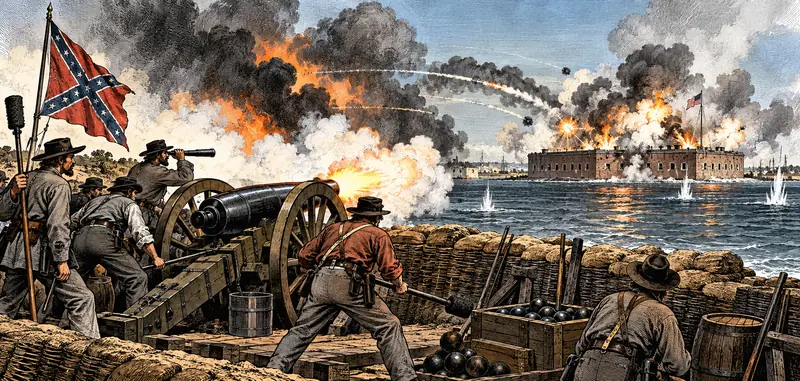
Six mapped stops, from the 1860 census map to the guns at Fort Sumter.
Start free lesson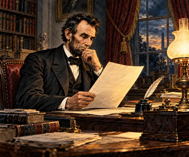
Six mapped stops, from the border states and Fort Monroe to Antietam and the proclamation of January 1, 1863.
View lesson Product details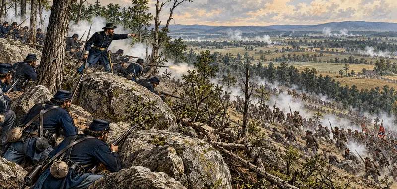
Six mapped stops, from the roads into Pennsylvania to the hills south of town and the cemetery where Lincoln spoke in November 1863.
View lesson Product details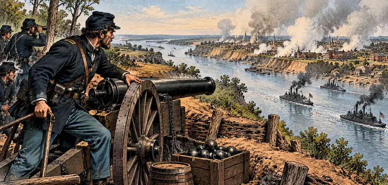
Six mapped stops, from the river forts below New Orleans to the bluffs, bayous and siege lines of Vicksburg and its surrender on July 4, 1863.
View lesson Product details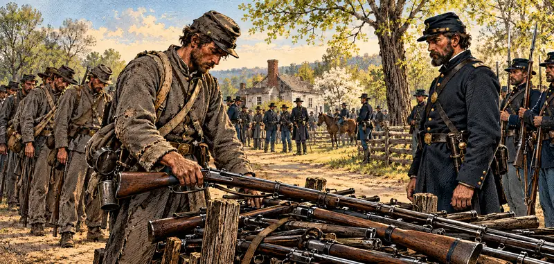
Six mapped stops, from the railroads that met at Atlanta to Savannah, Petersburg and Lee’s surrender at Appomattox Court House in April 1865.
View lesson Product details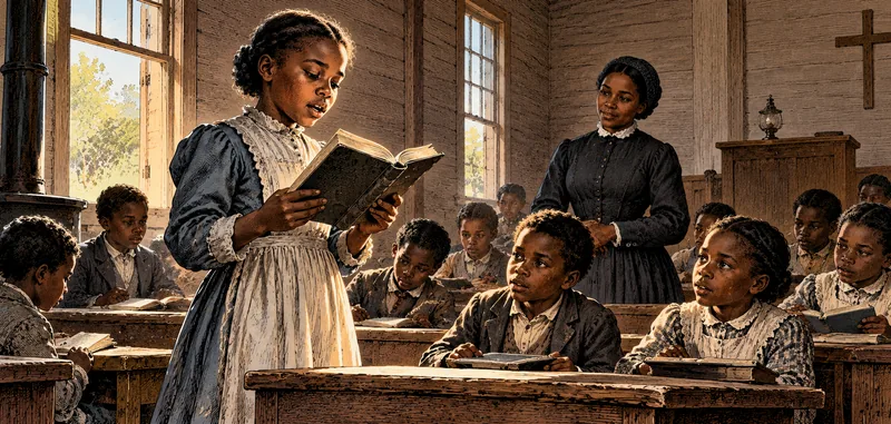
Six mapped stops trace how Black Americans pursued land, family security, education, legal rights, and control of their work as slavery ended.
View lesson Product details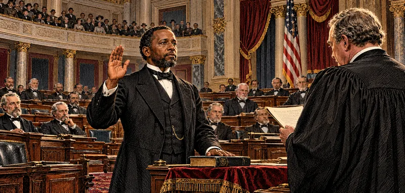
Six mapped stops trace how presidential restoration, congressional laws, new constitutions, elections, and enforcement changed political power from 1865 to 1875.
View lesson Product details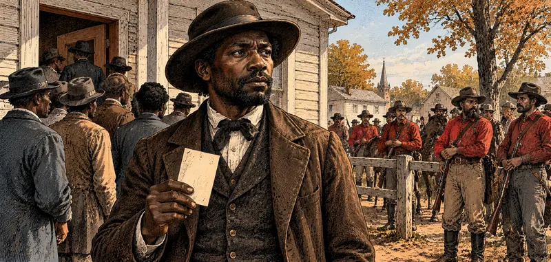
Political violence, a disputed election, and the limits of federal protection, 1866–1877.
View lesson Product detailsFor teachers and curious students
Start with the free causes lesson, then use the series to connect military events with the choices Black Americans made and the rights they fought to protect during Reconstruction.
Begin with lesson one