Protest and independence
Investigate Boston, imperial policy, the Declaration, and the opening fighting using maps and period evidence.
 Dynamic HistoryTimeline & Maps for Students
Dynamic History / U.S. history / Grades 6–8
Follow the American Revolution from a Boston street to a contested peace.
Eight mapped lessons ask students to weigh eyewitness accounts, trace campaigns, and ask who gained from independence.
8 lessons available · Guided map investigations
The story behind the map
The series opens with the Boston Massacre and the imperial crisis that followed the Seven Years’ War. Students compare what people saw, how protests grew, why colonial leaders declared independence, and how a standoff at Lexington and Concord became a war.
The later investigations follow Saratoga, French support, Valley Forge, Yorktown, and the peace of 1783. The final lesson asks whose lives changed and which promises of the Revolution remained unresolved.
What students investigate
Investigate Boston, imperial policy, the Declaration, and the opening fighting using maps and period evidence.
Trace campaigns, supply problems, alliances, and the geography that shaped Saratoga, Valley Forge, and Yorktown.
Read the peace of 1783 beside the experiences of people who did not receive the same freedom or security.
The series
All eight investigations are available. The Boston Massacre lesson is free to explore.
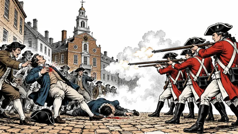
Six mapped stops in Boston, from the 1768 landing to the 1888 monument.
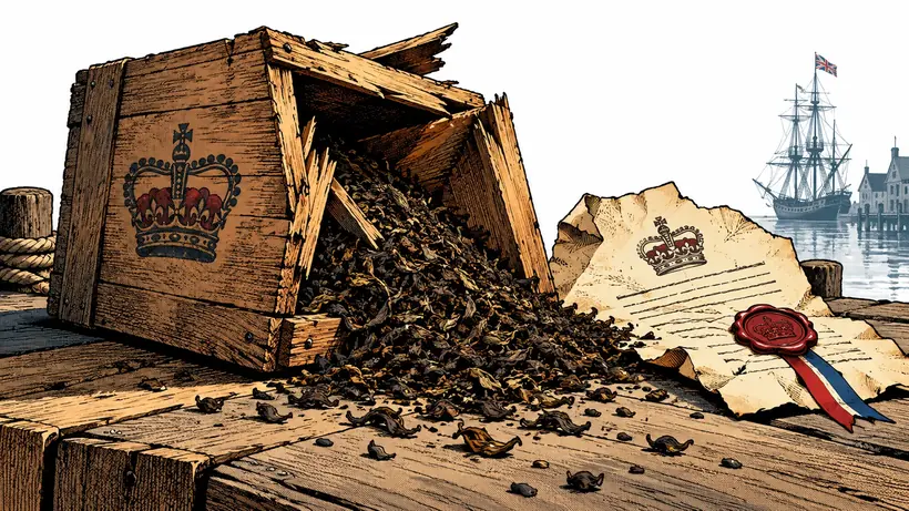
Six mapped stops from the 1763 peace to the First Continental Congress.
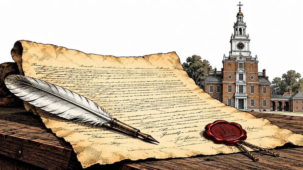
Six mapped stops from the Olive Branch Petition to the first public readings.
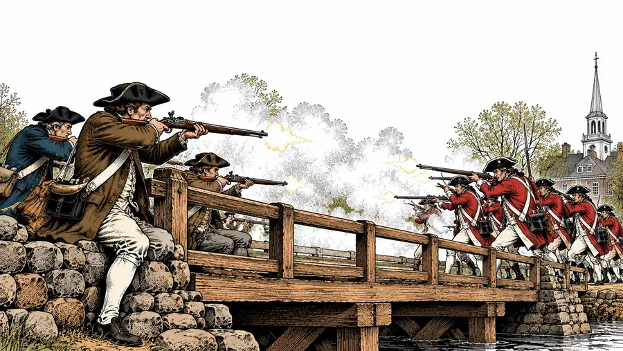
Six mapped stops from Gage's orders to the race to tell London.
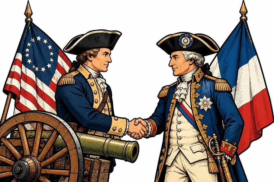
Six mapped stops from Lake Champlain to Versailles, 1777–1781.
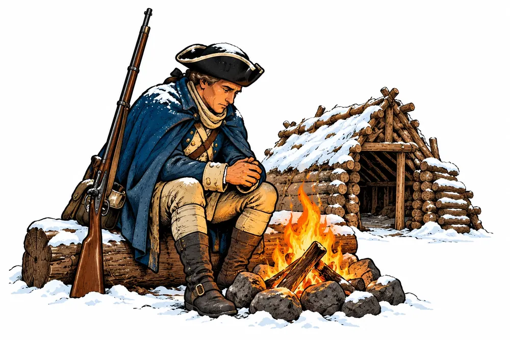
Six mapped stops from Brandywine to Monmouth, 1777–1778.
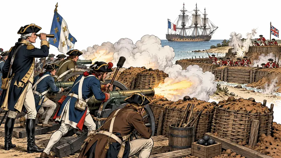
Six mapped stops from Wethersfield to Paris, 1781–1782.
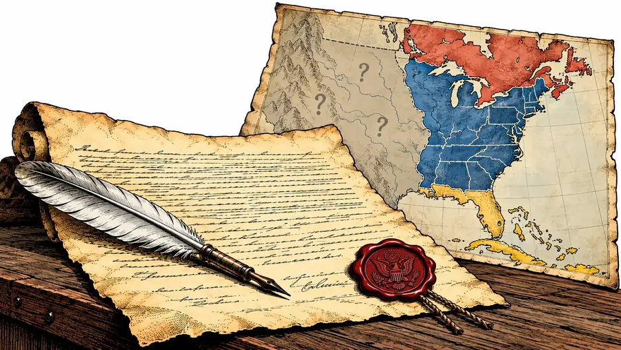
Six mapped stops on the peace of 1783 and who it served.
For teachers and curious students
Begin in Boston, then follow the decisions and places that changed the course of independence.
Begin with the free lesson